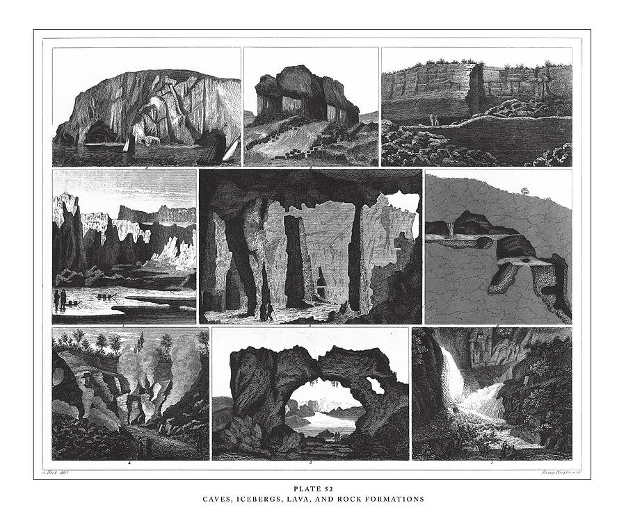
Caves, Icebergs, Lava and Rock Formations Engraving Antique Illustration, Published 1851

by Bauhaus1000
Title
Caves, Icebergs, Lava and Rock Formations Engraving Antique Illustration, Published 1851
Artist
Bauhaus1000
Medium
Drawing - Illustration
Description
Caves, Icebergs, Lava and Rock Formations Engraving Antique Illustration, Published 1851. Source: Original edition from my own archives. Copyright has expired on this artwork. Digitally restored.
Image provided by Getty Images.
Uploaded
January 4th, 2023
Statistics
Viewed 14 Times - Last Visitor from New York, NY on 03/08/2024 at 12:31 PM
Embed
Share
Sales Sheet
Tags
Image ID
1170377361
Comments
There are no comments for Caves, Icebergs, Lava and Rock Formations Engraving Antique Illustration, Published 1851. Click here to post the first comment.


